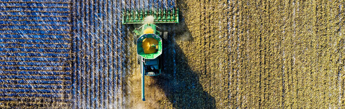
Agricultural Services
Businesses in the agriculture sector need to know everything that is happening on their properties to make fast, informed, and economical decisions. Contour Aerial can work with farmers and their staff to:
- Assess crop health
- Manage and plan fertilizer and irrigation
- Identify weeds/pests
- General site assessments
- Economically manage farm assets
Contour Aerial is based in Brisbane and the Sunshine coast. We service all of Queensland, and all states in Australia.
Major Benefits
- Time Saving
- Contour Aerial can quickly and easily identify areas of plant stress and weed/pest infestation before on-the-ground visual signs become apparent
- Contour Aerial can quickly collect high-resolution photos and HD video of infrastructure without the need to manually inspect the assets.
- Cost and Waste Reduction
- Our reporting outputs will assist a farmer to make informed decisions on where to fertilise and irrigate – ensuring significant savings are made each and every time.
- Contour Aerial can use thermal imagery to highlight areas of a field that water is pooling, or where there is insufficient moisture, both of which can adversely affect yields and/or quality.
- Safety Improvements
- Contour Aerial’s services reduce the need to do manual inspections of a field, paddock, or piece of infrastructures, which results in less “time on the ground” and a reduction in safety issues.
- Reporting
- Contour Aerial can provide timely, consistent, and accurate data, presented in a way that is useful to you and your farm’s needs.
- Contour Aerial’s reports offer a unique way to visualise a farm. High-resolution aerial imagery, HD video, high-resolution 3D modeling, thermal images, and NDVI maps are just a few ways we can provide stakeholders with a comprehensive insight into the operation of a farm.
What Next?
We would love to hear from you, and have an opportunity to demonstrate our capability. Contact Us for a comprehensive discussion on your project’s needs.
Why Contour Aerial?
- Contour Aerial possess a CASA approved business operators certificate (ReOC).
- We are fully qualified and individually CASA licensed UAV pilots, and adhere to all regulatory and safety requirements.
- We can work with stakeholders to conduct “live feed” operations, where a client can supervise and direct certain elements of a flight.
- We have expertise in multiple areas, and can advise on such things as technology, GIS, mapping, and 3D modelling